I’ve always liked map contours. There’s something about those repeated lines wrapping around hills, valleys and changes in elevation that feels both technical and strangely abstract. Take away the labels, roads and place names and they become patterns in their own right.
For this little Processing experiment, I wanted to take that idea and make it feel much less precise.
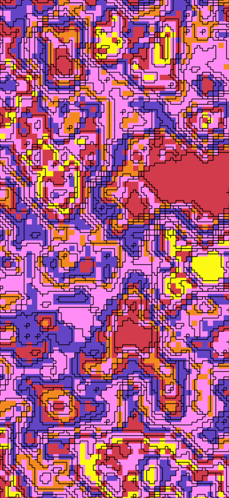
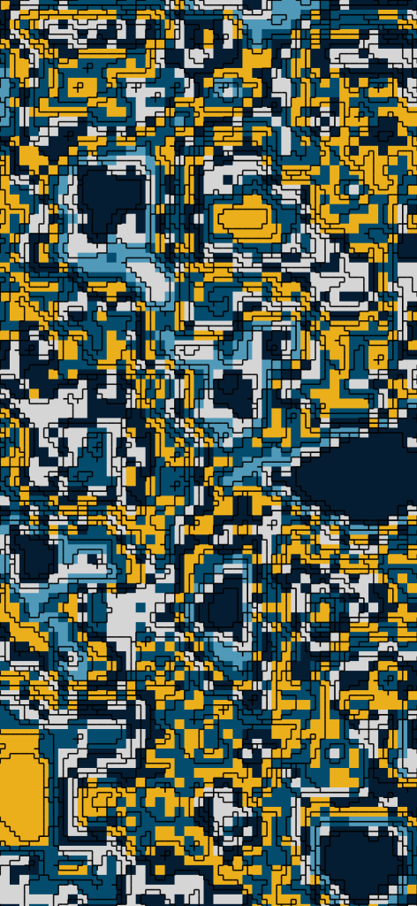
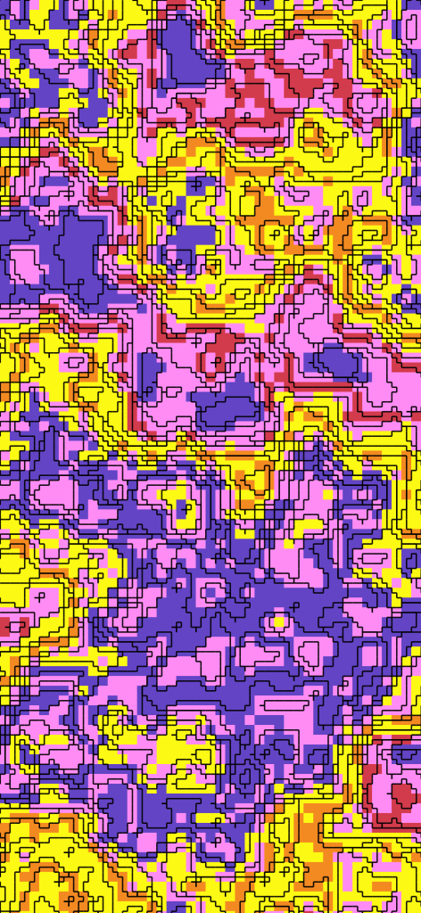
I’m also drawn to low-resolution graphics, early digital imagery and anything that feels slightly blocky or restricted by a grid. So instead of smooth contour curves, these are built from sharp 90-degree steps. It gives them a kind of retro mapping feel — somewhere between topographic data, pixel art and an old computer-generated landscape.
The terrain itself comes from Perlin noise. Each image is generated from a different random field, with contour levels gradually added until the piece is complete. I’ve always enjoyed using randomness in creative work because it introduces decisions I wouldn’t necessarily make myself. Sometimes the results are awkward, sometimes they’re unexpectedly balanced, and occasionally something appears that feels almost deliberately composed.
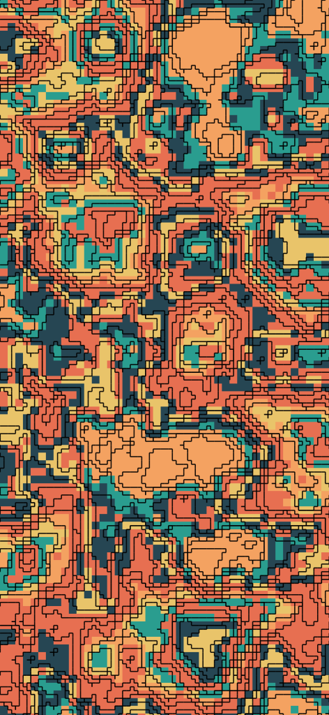
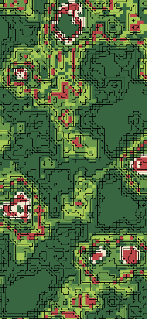
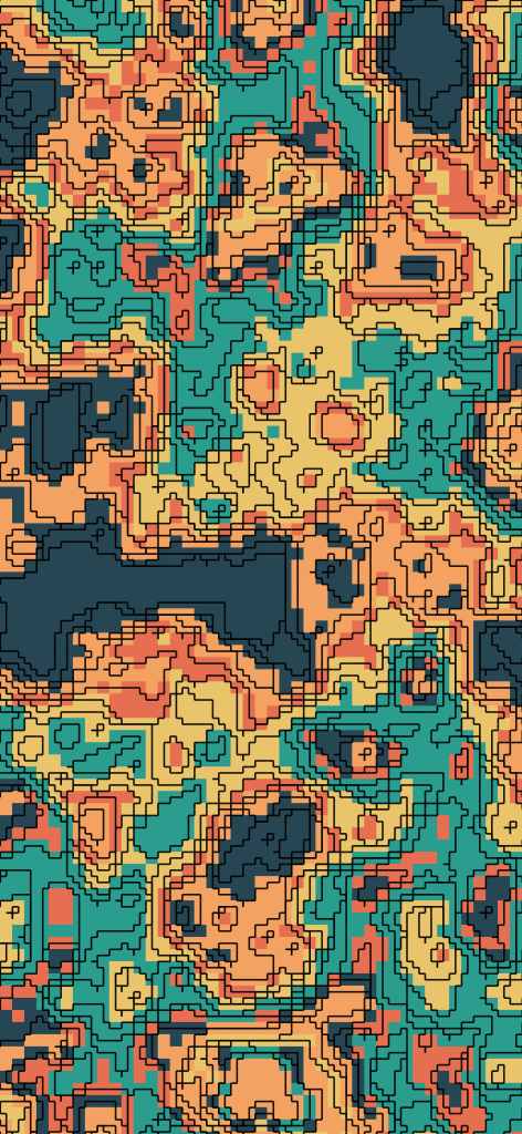
That unpredictability is a big part of the appeal.
Colour is random too, but within some boundaries. I’ve created a number of palettes based on colours I associate with favourite places, artists and bits of visual inspiration I’ve collected over the years. Each new piece chooses a palette and then distributes those colours across the landscape in different ways.
So although the code and underlying rules stay the same, every output is different.
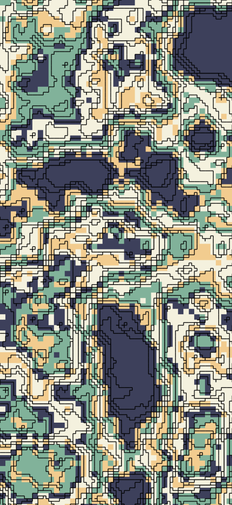
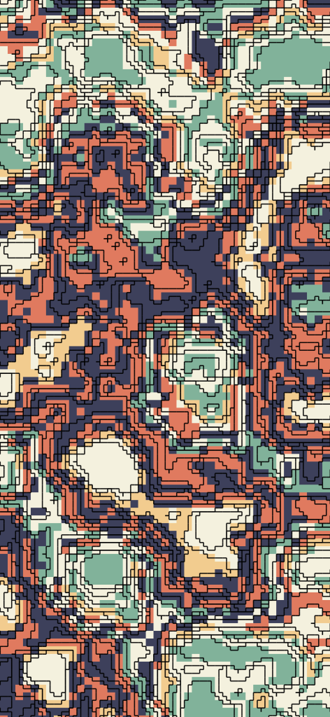
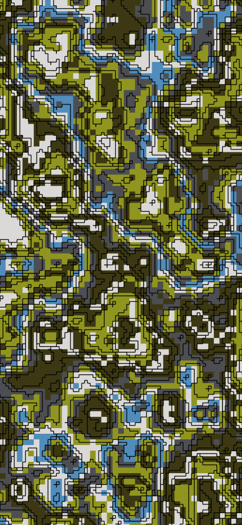
Once a landscape has finished building, the sketch automatically saves it as an image before moving on and generating another. I can leave it running and gradually end up with a collection of strange, colourful, imaginary maps.
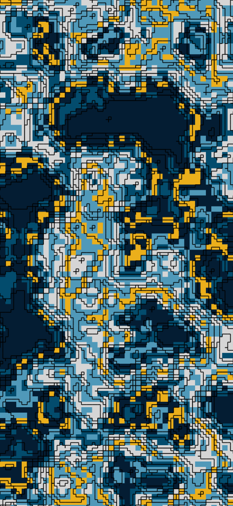
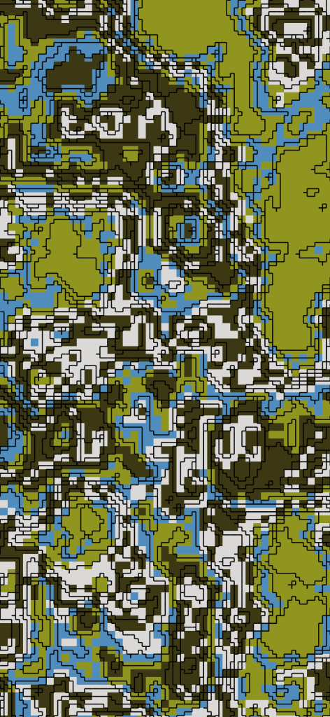
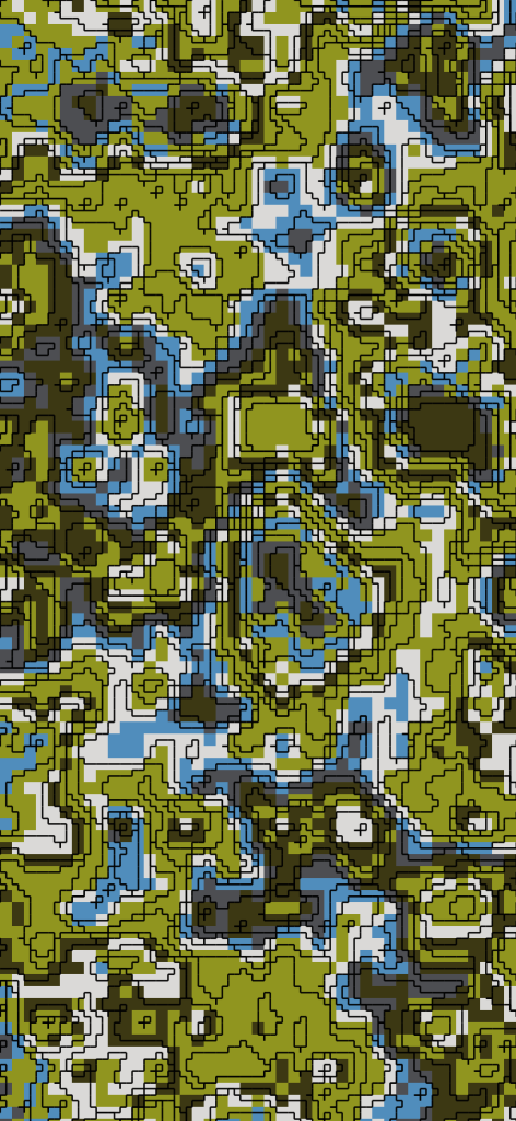
They don’t represent anywhere real, but sometimes I find myself looking at them and trying to decide where the hills, lakes, paths and settlements might be anyway.